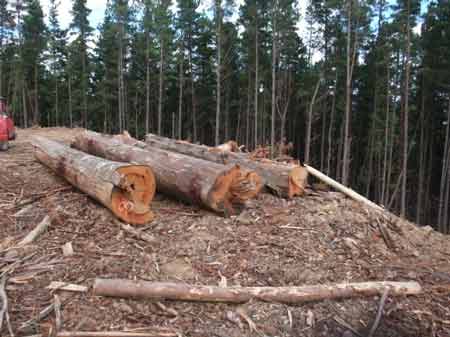
May 2015 Bright Plantation LEGL93-128: Stacey Gully/Ovens River. Clearfelling in close proximity to residential homes in Walkers Lane. Numerous houses will be impacted by aerial and ground spraying, if it occurs in this area. Residents in Bright and Wandiligong are organising against aerial spraying and are already putting Hancock on notice that they do not want aerial spraying in their community. Concerns have been increased after the World Health Organisation recently ruled that Glyphosate is a probable carcinogen.
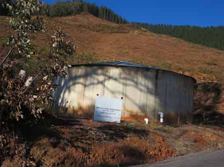
May 2015 Bright Plantation LEGL93-128: Stacey Gully/Ovens River. North East Region Water Authority Walkers Lane Water Storage Tank located in pine plantation.
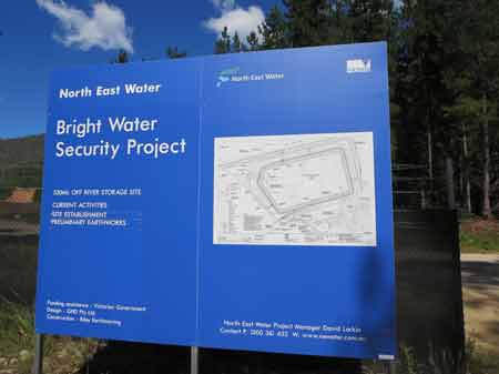
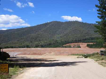
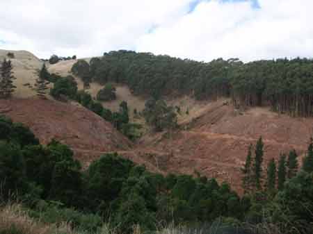
March 2015: Freeburgh Plantation/Ovens River catchment, now being used as part of Bright's drinking water supply - Bright Water Security Project, 520 ML off river storage site. This was announced in October 2013. The new storage facility will provide a boost to water supply for Bright during low flow periods in Summer.
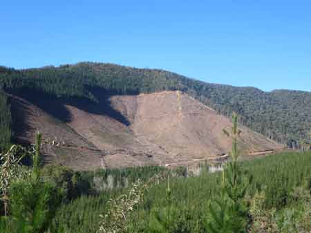
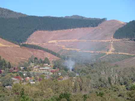
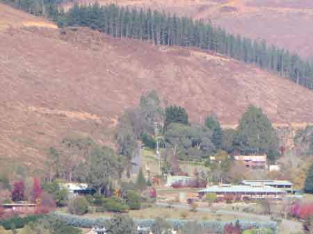
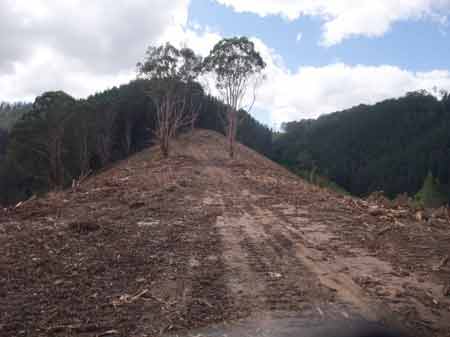
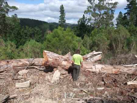
May 2015 Bright Plantation LEGL93-129: Water Reserve Plantation Bakers Gully Road. This is the old drinking water supply catchment for Bright. One shudders to think was was sprayed in this drinking water supply in the past. This clearfell is only 2.5km south of the centre of the town.
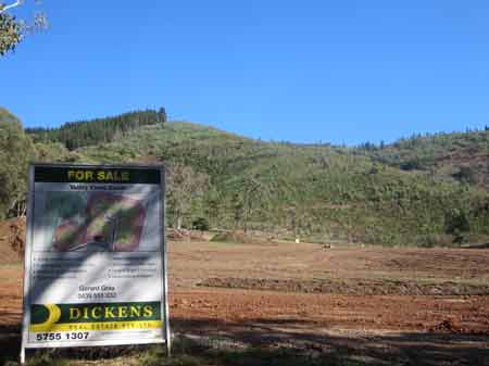
May 2015 Bright Plantation LEGL93-129: Water Reserve Plantation (Bakers Gully Road). New real estate development occurring in very close proximity to recently logged pine plantations. New housing development will increase chemical exposure issues at the plantation/subdivision interface.
May 2015 Wandiligong Plantation LEGL93-130: Morses Creek Plantation. Recent aerial spraying has occurred south of this location, alarming residents who may be exposed via spray drift. Some people also drink water from Morses Creek itself.
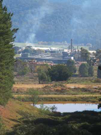
May 2015: Carter Holt Harvey plywood factory at Myrtleford in the Barwidgee Creek Catchment. Hancock supply CHH with pine logs from the region.
May 2015 Myrtleford Plantation LEGL93-144: Ovens Plantation in Lickhole Gully, which flows into Barwidgee Creek.
May 2015: Strzelecki Ranges/Middle Creek Catchment. Recent pine logging on Healeys Road.
May 2015: Strzelecki Ranges/Middle Creek Catchment. Summerfields Road - This area is a core koala habitat region, as it is located just south of a major koala hotspot at Morwell National Park. Numerous koala scats have been located in pine plantations, hardwood plantations and of course native forest in the area.
May 2015: Strzelecki Ranges/Middle Creek Catchment. Summerfields Road. Native vegetation removal.
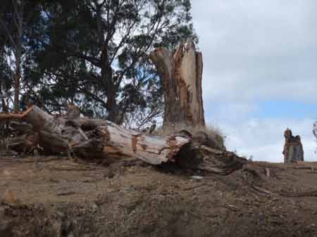
May 2015: Strzelecki Ranges/Middle Creek Catchment. Summerfields Road. Old growth removal Hancock destroys countless native forest trees ex year.
May 2015: Strzelecki Ranges/Middle Creek Catchment. Healys Road. Old growth destruction.
May 2015: Strzelecki Ranges/Middle Creek Catchment. Healys Road. More native forest destruction.
May 2015: Strzelecki Ranges/Middle Creek Catchment. Jumbuk Road. More native forest destruction.
May 2015: Strzelecki Ranges/Middle Creek Catchment. Summerfields Road. Native forest destruction.
May 2015: Strzelecki Ranges/Middle Creek Catchment. Summerfields Road. ditto.