Herbicides Used by Grand Ridge Plantations - Strzelecki Ranges and Gippsland Victoria
| Herbicide | Label Rate max as kg/ha | Used to control | Euc/Rad | Notes | Application |
| Clopyralid | 2.55 | Woody Weeds | Radiata and Eucalypts | Highly Toxic/Potential Ground water Contaminant | aerial or ground |
| Glufosinate Ammonium | 1 | Woody Weeds | Radiata | aerial or ground | |
| Glyphosate | 3.6 | Herbaceous and woody weeds, noxious weeds | Radiata, Eucalpts and Custodial | ||
| Haloxyfop-methyl | 0.13 | Annual and Pernneial Grasses | Eucalypts | Carcinogen | aerial or ground |
| Hexazinone | 4 | Woody Weeds | Radiata | Ground Water Contaminant | Aerial, ground, spot |
| Metsulfuron-Methyl | 0.06 | Woody Weeds, Noxious Weeds | Radiata, Eucalyptus and Custodial | Potential Ground Water Contaminant | Aerial, ground or spot |
| Sulfometuron Methyl | 0.6 | Annual and Perennial Grasses and broadleaf weeds | Eucalyptus | Potential Ground Water Contaminant | Aerial or Ground |
Hancock Watch Site visit Nov 01: This is actually two separate small pine areas which lie south of LEGL93-93 and west of LEGL93-89. Both areas are 1984 and 1985 established plantations and both cover very small areas.
Albert River - Below Staceys Bridge: Flows through open country, mud and sand bottom. Highly modified by agriculture, water is often turbid with wide variations in flow and water level. Where the habitat is suitable, trout will be found but, like the Agnes River, these areas are relatively inaccessible. Eels abundant and a few brown trout from 200 to 600g, occasional small river blackfish. Estuarine section often has estuary perch.
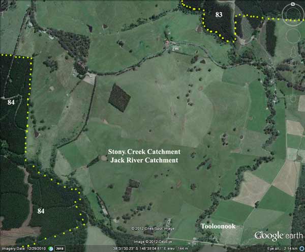
Jack River, Yarram: A tributary stream of the Albert River, fast flowing and running through partly cleared hills, rock bottom. Contains brown trout to 520g, average 160g, abundant mainly small river blackfish, tupong, both species of eels and grayling.
Source: A Guide to the Inland Angling Waters of Victoria by BR Tunbridge, PL Rogan, CA Barnham. Department Conservation and Environment. Arthur Rylah Institute for Environmental Research, 123 Brown St, Heidelberg, 3084. (4th ed - 1991)