Region: PortlandLegal Number: LEGL/93-8Plantation: BrisbaneConservation Priority: High |
|
Herbicide
|
Label Rate max as kg/ha
|
Used to control
|
Notes
|
Application
|
|
2.55
|
Woody Weeds
|
Highly Toxic/Potential Ground water Contaminant
|
air or ground
|
|
|
3.6
|
Herbaceous and woody weeds, noxious weeds
|
|||
|
4
|
Woody Weeds
|
Ground Water Contaminant
|
Aerial, ground, spot
|
|
|
0.06
|
Woody Weeds, Noxious Weeds
|
Potential Ground Water Contaminant
|
Aerial, ground or spot
|
|
|
3
|
Woody and Noxious Weeds
|
Ground, spot, basal bark
|
Responsible Authority: Glenelg Shire Council
THREATENED FISH NOTES - GLENAULIN CREEK/CRAWFORD RIVER:
Only known habitat for FFG listed Ewens
Pygmy Perch in Victoria.
Yarra Pygmy Perch and Dwarf Galaxias also found in the Crawford River.

Ewens Pygmy Perch
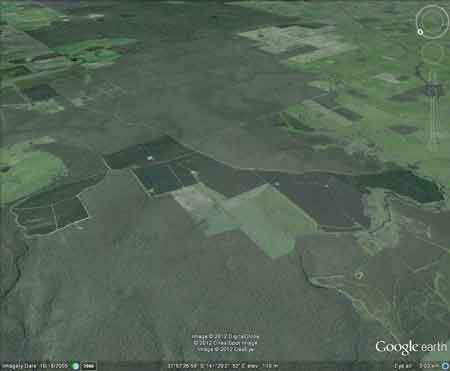
Plantation Catchment: SW corner joins Annya State Forest. Main
plantation divides Hotspur State Forest from Annya State Forest. Southern
edge is creek which feeds into Crawford River. Northern edge has 2
creeks feeding into Crawford River. Several kilometres of the plantation
lies in close proximity to the Crawford River.
Catchment Managment Authority: Glenelg-Hopkins Catchment Management
Authority.
Hancock Watch Site visit Jan 01: Extensive pine plantation
on relatively flat land. Appears to be located at least 30m from banks
of the Crawford River. Although did not assess western edge of plantation.
Crawford River: Flows through forest and grazing land, mud
bottom. Redfin, river blackfish, eels and abundant spiny freshwater
crayfish, and tench. Currently no stocking with any species as stream
tribuataries contain variegated pigmy perch, which is a species listed
under the Flora and Fauna Guarantee Act 1988 as requiring protection.
Source: A Guide to the Inland Angling Waters of Victoria by BR
Tunbridge, PL Rogan, CA Barnham. Department Conservation and Environment.
Arthur Rylah Institute for Environmental Research, 123 Brown St, Heidelberg,
3084. (4th ed - 1991)
HOME
"Groundwater: "In south-western Victoria the Otway Basin stretches from the South Australian border almost to the west of Geelong. It contains older sediments of Upper Cretaceous and Lower Tertiary age, up to 2000 m in thickness. These include four sand aquifers and two limestone aquifers. The sand aquifers of the Wangerrip Group are confined over most of the Basin and their recharge zones are located on the margins of the Otway Range in the east and the Merino Tablelands in the West. The groundwater moves towards the coast, increasing in salinity along its floorpath . . ." p268 State of the Environment Report 1988 Victoria's Inland Waters. Office of the Commissioner for the Environment.
"Shallow aquifers in the Glenelg River Basin occur in four main geologic units . . . The third unit is a Newer Volcanic aquifer which lies along much of the Basin's southern boundary, particularly in the east. This fractured rock aquifer is composed of basalt, scoria and tuff. The fourth unit is composed of dune sand and beach deposits extending from the south-west corner of the Basin up to the western boundary and along the northern boundary. It is known as the Bridgewater formation.
A deep aquifer system exists in the south-west of the Basin and extends to the top of the western boundary and half-way across the southern boundary. This sand aquifer, which is significant as a water source, occurs within the Wangerrip Group.
Generally, groundwater quality in the Basin decreases towards the north where it is saline. A large reserve of fresh water is held in the north-east corner of the catchment and in the south-west the water is of marginal quality . . ." p295 Water Victoria A Resource Handbook - Department of Water Resources Victoria 1989.