Responsible Authority: Glenelg Shire Council Plantation located in Portland Groundwater Management Area The Nationally Threatened Temperate Grassland & Grassy Eucalypt Woodland Ecological Community may occur in this plantation or in close proximity. Plantation located on Victorian Volcanic Plain Bioregion. More Information: http://www.environment.gov.au/epbc/publications/pubs/grasslands-victoria.pdf Plantation maps of region here
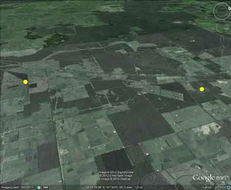
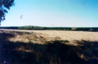
Two seperate pine plantations, located 5km and
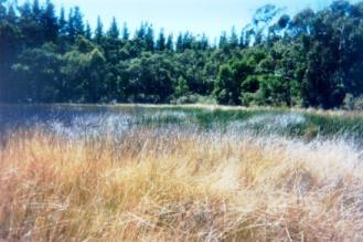
7 km north east of the town of Heywood. Plantation Catchment: Small drainage lines flow into Whittlebury
Creek/Whittlebury Swamp/Darlots Creek/Fitzroy River. Catchment Managment Authority: Glenelg-Hopkins Catchment Management Authority. Herbicides Used by Hancock in Pine Plantations South Western Victoria
Click here for more information about the Glenelg/Hopkins region.
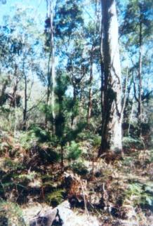
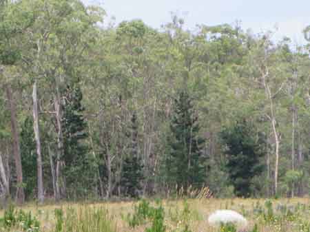
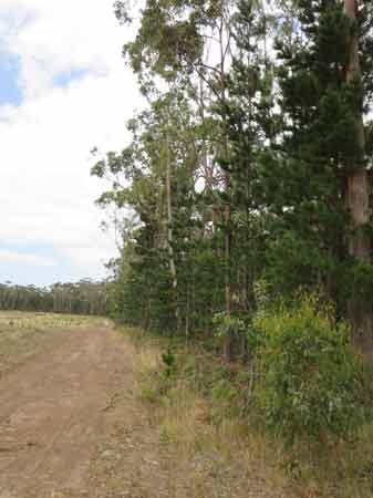
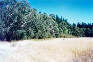
Jan 2014: Wildings growing into native forest buffer and also found in nearby Milltown State Forest. Why isn't Hancock controlling plantation "escapees"?
Jan 2014: Wildings growing into native forest
buffer
"Groundwater: "In south-western Victoria the Otway Basin stretches from the South Australian border almost to the west of Geelong. It contains older sediments of Upper Cretaceous and Lower Tertiary age, up to 2000 m in thickness. These include four sand aquifers and two limestone aquifers. The sand aquifers of the Wangerrip Group are confined over most of the Basin and their recharge zones are located on the margins of the Otway Range in the east and the Merino Tablelands in the West. The groundwater moves towards the coast, increasing in salinity along its floorpath . . ." p268 State of the Environment Report 1988 Victoria's Inland Waters. Office of the Commissioner for the Environment. "The basalt, scoria and tuff of the Newer Volcanics aquifer covers most of the (Portland Coast) Basin surface and provides a shallow, fractured rock aquifer which is a significant source of irrigation water throughout the Basin. The Quaternary Bridgewater Formation aquifer lines the coast and extends to the northern boundary in the west. This shallow aquifer is composed of dune sands and beach deposits and contains groundwater of low salinity for most uses. The underlying Port Campbell Limestone aquifer outcrops just inland from the coast, immediately east and west of the Eumerella River. Composed of limestone and marl it is a useful aquifer lying at depths of up to 400m below the surface. A Quaternary alluvial aquifer is also present around the lower reaches of the Basin streams and some stock supplies are available at shallow depths from these deposits. The Wangerrip Group aquifer is a deep, sandy aquifer which yields good quality water. This aquifer system occurs throughout the Basin except in the north-eastern corner, and lies at depths greater than 400 m below the surface. The Dilwyn formation of the Wangerrip Group reaches thicknesses of up to 1,250 m and is an important sand aquifer providing water for several towns including Portland and Port Fairy. Because of the depth from which this water is delivered it is moderately hot, and this geothermal energy is used to heat the swimming pool and a number of buildings . . ." p285 Water Victoria A Resource Handbook - Department of Water Resources Victoria 1989.
|