Conservation Priority: Medium |
|
Herbicide
|
Label Rate max as kg/ha
|
Used to control
|
Notes
|
Application
|
|
2.55
|
Woody Weeds
|
Highly Toxic/Potential Ground water Contaminant
|
air or ground
|
|
|
3.6
|
Herbaceous and woody weeds, noxious weeds
|
|||
|
4
|
Woody Weeds
|
Ground Water Contaminant
|
Aerial, ground, spot
|
|
|
0.06
|
Woody Weeds, Noxious Weeds
|
Potential Ground Water Contaminant
|
Aerial, ground or spot
|
|
|
3
|
Woody and Noxious Weeds
|
Ground, spot, basal bark
|
THREATENED FISH NOTES - GLENELG RIVER: Yarra Pygmy Perch
and Ewens
Pygmy Perch found in the Glenelg
system. Both species listed under the Flora and Fauna Guarantee Act
in Victoria and threatened.
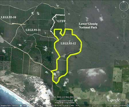
Responsible Authority: Glenelg Shire Council
Plantation Catchment: Flat country with possible waterholes
Catchment Managment Authority: Glenelg-Hopkins Catchment Management
Authority

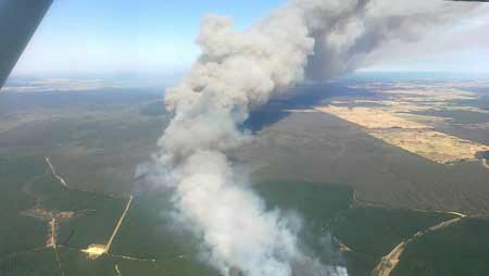
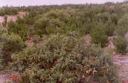
May 04: Prolific regeneration
of Acacia longifolia (Coast Wattle) has occurred in this plantation
post logging. Aerial application of Hexazinone
may eventuate at this location to kill this and other 'pine competitors'.
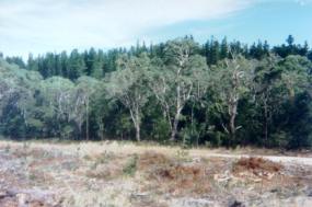
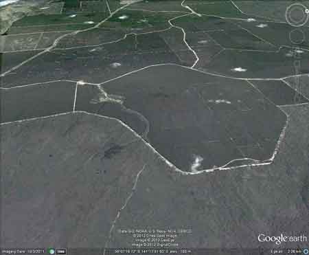
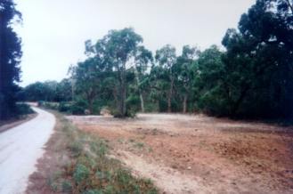
Hancock Watch Site visit Jan 01: Large pine plantation. Came
across buffer zones on small unnamed creek about 2km north of the Portland-Nelson
Road. These buffers were along WPO6K Track. The area surrounding the
creek had recently been cut of pine, but great care had been shown by
the contractors in leaving all remnant vegetation where it stands with
some meticulous care being shown on some native trees. If this was the
standard of logging on all other Hancock lands throughout the state
Hancock would not have as many problems. - Although it should be pointed
out that the area of native vegetation to plantation is extremely small.
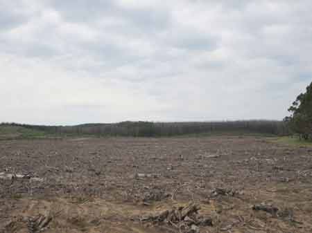
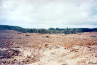
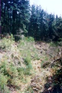
Site visit Feb 01: Entered plantation from west. Clearing of
pine occurring- difficult to get a good look. Drove across to track
that borders Lower Glenelg National Park. Drove south until we came
acorss a gully stretching inside the plantation. The gully was quite
steep and had some native species along its edges but also pine in very
close proximity. It appeared that the gully stretched across the plantation
in an east west direction.
 |
 |
 |
"Groundwater: "In south-western Victoria the Otway Basin stretches from the South Australian border almost to the west of Geelong. It contains older sediments of Upper Cretaceous and Lower Tertiary age, up to 2000 m in thickness. These include four sand aquifers and two limestone aquifers. The sand aquifers of the Wangerrip Group are confined over most of the Basin and their recharge zones are located on the margins of the Otway Range in the east and the Merino Tablelands in the West. The groundwater moves towards the coast, increasing in salinity along its floorpath . . ." p268 State of the Environment Report 1988 Victoria's Inland Waters. Office of the Commissioner for the Environment.
"Shallow aquifers in the Glenelg River Basin occur in four main geologic units . . . The third unit is a Newer Volcanic aquifer which lies along much of the Basin's southern boundary, particularly in the east. This fractured rock aquifer is composed of basalt, scoria and tuff. The fourth unit is composed of dune sand and beach deposits extending from the south-west corner of the Basin up to the western boundary and along the northern boundary. It is known as the Bridgewater formation.
A deep aquifer system exists in the south-west of the Basin and extends to the top of the western boundary and half-way across the southern boundary. This sand aquifer, which is significant as a water source, occurs within the Wangerrip Group.
Generally, groundwater quality in the Basin decreases towards the north where it is saline. A large reserve of fresh water is held in the north-east corner of the catchment and in the south-west the water is of marginal quality . . ." p295 Water Victoria A Resource Handbook - Department of Water Resources Victoria 1989.