Region: BallaratLegal Number: LEGL/93-31Plantation: CarnghamConservation Priority: HighApproximate Size: 830haThe Nationally Threatened Temperate Grassland & Grassy Eucalypt Woodland Ecological Community may occur in this plantation or in close proximity. Plantation located on Victorian Volcanic Plain Bioregion. More Information: http://www.environment.gov.au/epbc/publications/pubs/grasslands-victoria.pdf |
| Herbicide | Label Rate max as kg/ha | Used to control | Notes | Application |
| Clopyralid | 2.55 | Woody Weeds | Highly Toxic/Potential Ground water Contaminant | air or ground |
| Glufosinate Ammonium | 1 | Woody Weeds | ||
| Glyphosate | 3.6 | Herbaceous and woody weeds, noxious weeds | ||
| Hexazinone | 4 | Woody Weeds | Ground Water Contaminant | Aerial, ground, spot |
| Metsulfuron-Methyl | 0.06 | Woody Weeds, Noxious Weeds | Potential Ground Water Contaminant | Aerial, ground or spot |
| Triclopyr | 3 | Woody and Noxious Weeds | Ground, spot, basal bark |
Plantation Catchment: tip of tribuatory of Spring Hill Creek,
one creek flows into Baillie Creek/Mt Emu Creek/Hopkins River.
Soils: Sourced from Geological Maps of Victoria
Qvn3: Sheet flow basalts, stony rise features discernible, negatively magnetized; dominantly fresh alkalic olivine basalt.
Qrm: Swamp deposits: associated with disrupted drainage, silt, clay and sand; massive or laminated, moderately sorted.
Qrc: Quaternary/Recent: Colluvial deposits, active outwash fans, scree aprons and colluvium, ubiquitous around hill bases and in gullies, polymictic gravel, sand, silt, clay: poorly sorted, variably rounded, stratified, laminated or massive.
Catchment Managment Authority: Glenelg-Hopkins Catchment Management Authority
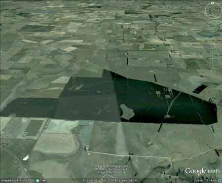
Hancock Watch Site visit Feb 01: Plantation established on flat cleared farmland. There appears to be swamp grounds in the southern aspect of the plantation, however access to these areas was difficult. Drove down Swamp Road which lay straight unlike the LEGL map plan showing the road to veer in a south westerly direction. Environmental issues with this plantation would include water being drawn up by the plantations thereby drying out the local swamps. More work needs to be done at this plantation.
Mount Emu Creek: Flows through forest and grazing land, (basalt country) with a rocky bottom in many sections and deep pools. Scattered red gums along banks. Considerable erosion in the upper catchment.
Source: A Guide to the Inland Angling Waters of Victoria by BR Tunbridge, PL Rogan, CA Barnham. Department Conservation and Environment. Arthur Rylah Institute for Environmental Research, 123 Brown St, Heidelberg, 3084. (4th ed - 1991)
HOME