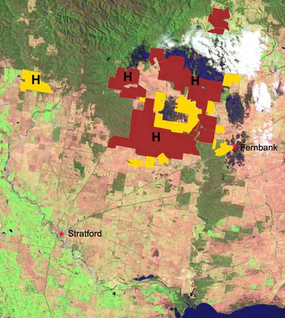
Hancock's plantations marked with H: Hancock's radiata pine plantations (approx 8000ha) marked in purple (Hancock's hardwood in top left of image, Avon River catchment). Midway/Macquarie Bank hardwood plantations (approx 3500ha) marked in yellow. Almost all of these plantations are located in the Perry River catchment which flows into Lake Wellington. The land is generally of flat topography.
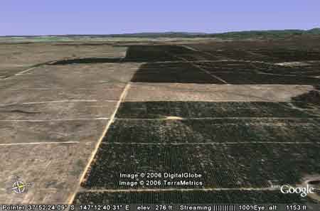
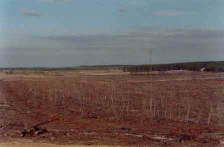
Stockdale Plantations Perry River Catchment - circa 2001.
October 2003: Iguana Creek and tributary vegetation which have been retained by Hancock in the Mitchell River catchment.
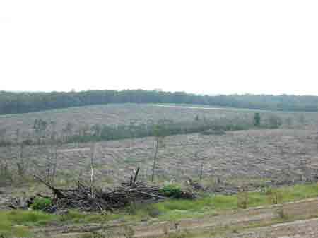
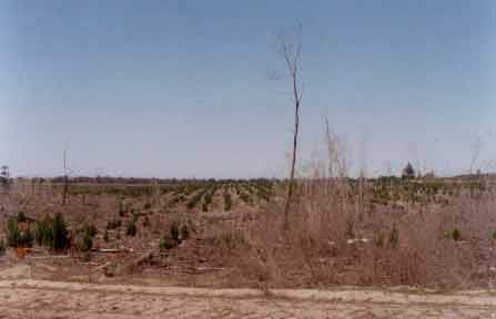
Eastern Central Gippsland February 2006: Recent clearfelling of pine plantations in the Mitchell River catchment on ex APM sites.
October 2003: Central/Eastern Gippsland. This photo shows the extent of pine plantations in allotment 14 Parish of Bow-Worrung. Native vegetation owned by Hancock in Allotment 8A of A Parish of Bow-Worrung can be seen on the far left of this photo. This area is a headwater tributary of the significant Providence Ponds with Hancock also controlling native vegetation in the headwaters of the Perry River which lies just over the ridge.
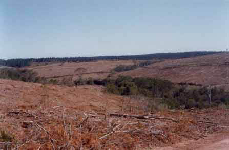
October 2003: Central/Eastern Gippsland. Retained habitat tree in the Parish of Narrang - Sandy Creek/Perry River catchment. Extensive pine plantations lie north of the town of Stratford.
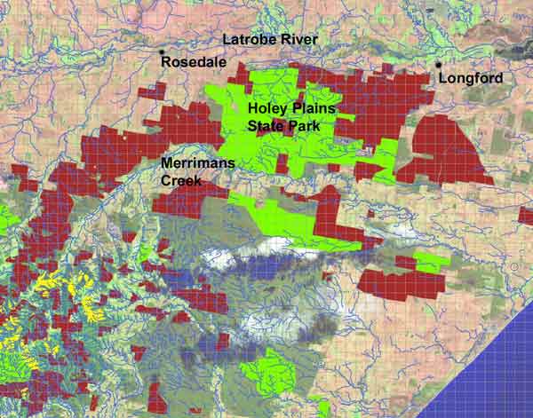
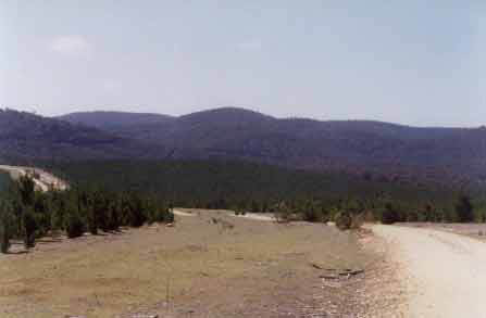
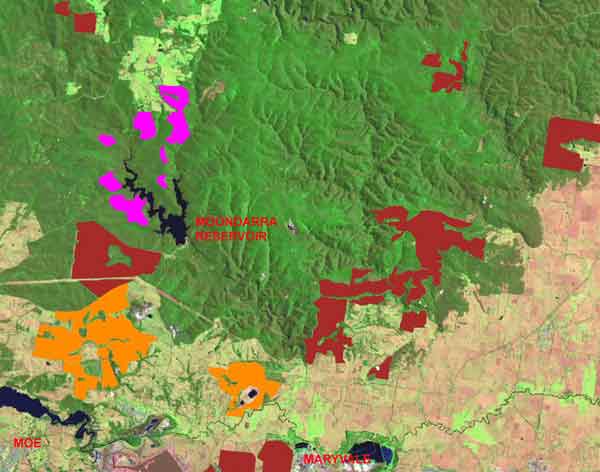
Hancock's land holdings also include a large amount of pine plantations that stretch from the Strzelecki Ranges to Longford in the east. Most of these plantations are located in the Latrobe River and Merrimans Creek catchments. Land marked mauve is pine plantations and land marked green is reserves, the most substantial of which is the Holey Plains State Park. The land generally is of flat topography.
Sustainable plantations? Horizon logging, certified by Forest Stewardship Council
Central Gippsland - September 2003 - Parish of Coolungoolun. This photo shows a portion of the Skillion Creek catchment which ultimately flows into the Latrobe River via Boggy Creek about 1km west of the township of Longford. Widespread clearfelling extending over 4km has recently occurred in this plantation. Note retained habitat trees in foreground. Herbicides used in this plantation could eventually pollute groundwater. Hexazinone has been detected in groundwater in South Australia and Hancock Watch fears that groundwater pollution could eventuate in Gippsland, especially when Hexazinone is used on sandy soils.
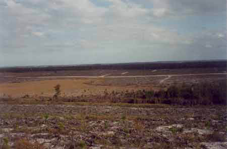
September 2003 - Central Gippsland - Parish of Wulla Wullock. View looking south over dried wetland. Note pine wildlings extending into wetland area. More extensive clearcutting taking place.
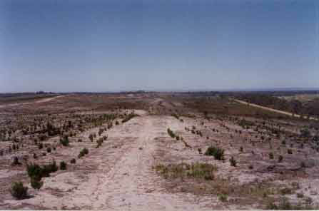
October 2003: Central/South Gippsland. View looking east into Allotment 4 Parish of Wulla Wullock. Some low lieing wetlands can be seen to the right of the photo. This plantation area is a trial plantation area and whilst it is encouraging to see some retained indigenous vegetation, the areas are not linked. Indigenous regeneration at this site was quite prolific possibly meaning that herbicide applications will be carried out in the near future. This could be problematic due to the sandy soils of the region meaning the potential for groundwater pollution. Click here for more maps on Gippsland groundwater.
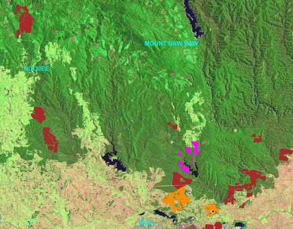
May 2006: Extent of plantations north of the Latrobe River in Central Gippsland. Brown indicates pine plantations that were controlled by Australian Paper Plantations and Victorian Plantation Corporation - now owned by Hancock Victorian Plantations. Orange indicates hardwood plantations managed by Grand Ridge Plantations (owned by Hancock Victorian Plantations) that have been established since 2000. Purple indicates pine plantations currently under management of Gippsland Water. (Same colour coding as below).

Hancock and Macquarie Bank's plantations in relation to the Perry River catchment (marked in blue). Hancock owns about 7000 hectares of radiata pine in this catchment, which was established by APM in the 1970's.