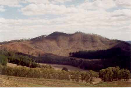
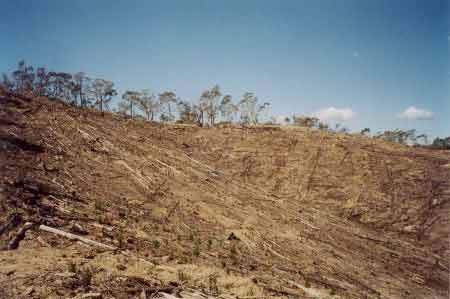
LEGL93-125: Havilah Plantation. Is this a sustainable operation? If a plantation was initially established in an unsustainable manner, how then can it be called sustainable after it has been logged 25-30 years later?
LEGL93-125 Havilah Plantation April 2003: Up to 85% of soil loss from plantations can occur in the first year after logging. Studies have concluded that soil loss occurs at about 300 tonnes per hectare per rotation. The most critical aspects of this unsustainable soil loss are soil type, slope and rainfall. How much soil loss will occur in this plantation in the event of torrential rainfall?
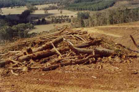
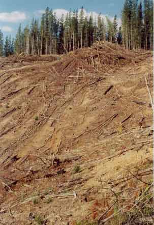
LEGL93-125: Havilah Plantation: Main drainage line/creek line draining into Havilah Creek. Track cut straight through. Logs piled further downstream creating a blockage in the waterway. What will happen in the event of heavy rainfall?
LEGL93-125: Havilah Plantation: Native vegetation cut at the top of the plantation. Was this an effort of creating a firebreak? A couple of the trees would have been likely to be old growth.
LEGL93-125: Havilah Plantation: Remnants of the cut down native trees added to this Radiata log dump.
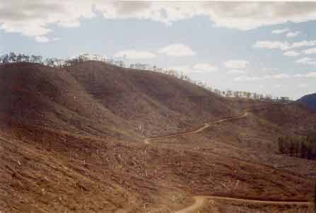
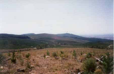
LEGL 93-143: Ovens Plantation near the town of Myrtleford in the Happy Valley Creek catchment. Note the steepness of the terrain.
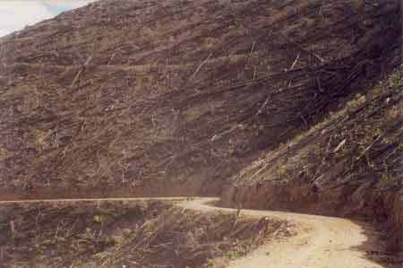
LEGL 93-143: Roading in the Myrtleford plantation. Note the natural drainage line and note the potential for erosion at the head of the depression.
![]()
LEGL93-149: Looking west into Gap Creek and Clear Creek North Branch. Large scale clearfelling has occurred in this portion of the Merriang plantations in the past year or so. Note natural drainage lines devoid of buffers. Hancock is reestablishing these areas with pine, meaning that these same issues will occur again when the plantation is logged in the future.
![]()
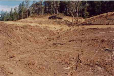
LEGL93-149: Clear Creek South Branch catchment. More clearfell logging with no protection for natural drainage lines. On the contour maps these drainage lines are clearly marked - but this was not a consideration when the State Government created this plantation some 30 years ago. What imperative is there for Hancock to revegetate these natural filter systems? Note log dump at the top of gully line.
![]()
LEGL93-149: A natural drainage line of Clear Creek South Branch. What protection is afforded the waterways draining from this site?
![]()
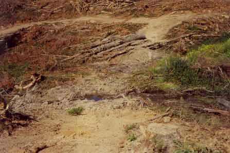
LEGL93-149: Clear Creek South Branch. Logging track/road eroding away. This will only worsen in the event of heavy rainfall.
LEGL93-149: Probably a natural tributary of either Gap Creek or Clear Creek North Branch. Snig track cut directly above natural drainage line. Note the erosion potential of this track.
LEGL93-149: Headwaters of Gap Creek. Water will rush of this slope in the event of heavy rainfall. What is protecting the waterways from the impact of sedimentation?
LEGL93-150: Mayday Creek catchment. Precariously located log dump.
![]()
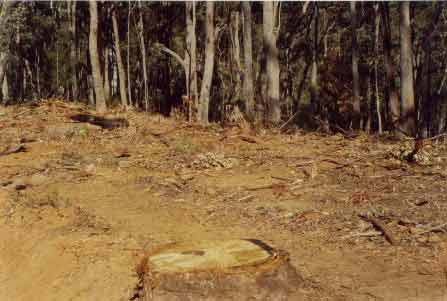
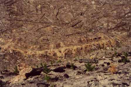
LEGL93-149: Headwaters of Clear Creek North Branch logged about one year ago.
LEGL93-132: Bright water supply located 100 metres downstream from a Hancock plantation.
LEGL93-131: Recent bushfire scars looking west of Wandiligong. It was a miracle that many more hectares of plantations were not lost during the recent bushfires. Insurers of pine plantations are already getting very edgy about further insurance risks associated with greenhouse effect and global warming.
LEGL93-62: Recent clearfelling in the Strathbogie Ranges. This is a 5km clearfell in the Broken River catchment. What is the impact of this plantation on water yield in the creeks draining this plantation. Could they be placed in a situation of permanent drought as the young Hancock trees suck up water as they grow. Click here for other Strathbogie updates.