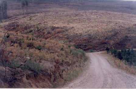
LEGL93-63: Headwaters of White Gum Gully (north side). Photo taken from A10 Road. Note lack of buffers to protect water quality. Water from this plantation makes its way into Parkes Creek and eventually into the Broken River. It could be argued that creeks draining from this plantation could be placed in situations resembling permanent drought due to the uptake of water from young fast growing trees. Hancock does not pay for the water that their trees use.
LEGL 93-62: Stanley Creek draining south into White Gum Gully on the eastern side of the Strathbogie Ranges. Minimal buffer zones apparent at this location.
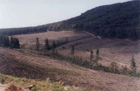
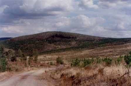
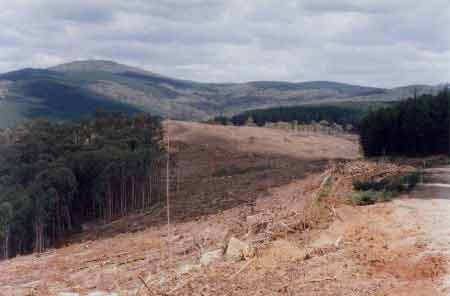
LEGL 93-63: Recent clearfell logging operation in the Warrenbayne Creek catchment. Photo taken from D Road.
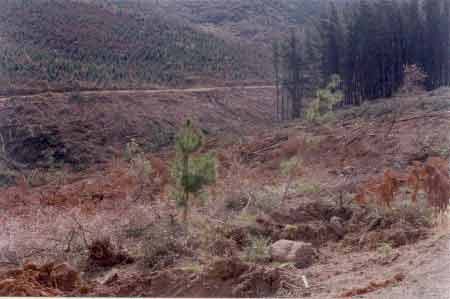
LEGL 93-63: Recent clearfell logging in the Warrenbayne Creek catchment. Pretty good buffers but do they protect downstream water users from chemical residues when herbicides are used? Warrenbayne Creeks drains in a northerly direction out of the Strathbogies.
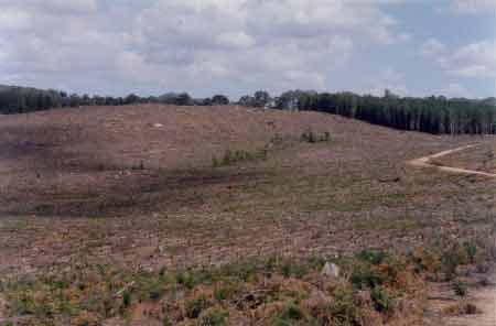
LEGL93-62: Looking north east into the Broken River catchment across Green Gully, Stony Creek, Escreet Creek. All of these creeks drain into Parkes Creek. This photo reveals a 5km clearfell. What is the effect on water yield on plantations of this scale?
LEGL 93-62: More clearfells in the Stony Creek catchment on the eastern side of the Strathbogie Ranges. This shot is looking south west near the headwaters of the creek from the A5 Road.
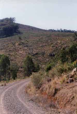
LEGL 93-62: Recent cable logging along Stony Creek on the eastern side of the Strathbogie Ranges in the Broken Creek catchment. The creek at this location drains south.
LEGL 93-62: Recent clearfell in the Stony Creek catchment - eastern Strathbogies. This aspect of the catchment drains east and minimal buffers have been granted to most of the tributaries of Stony Creek.
LEGL 93-62: Recent clearfell showing minimal buffer protection for a tributary of Stony Creek (Broken River Catchment).
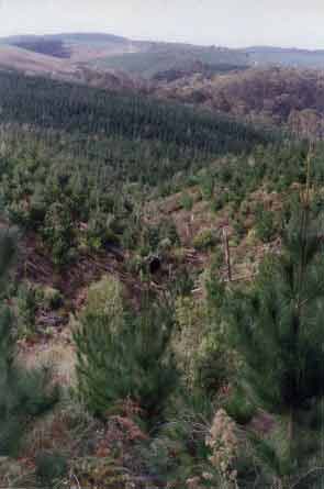
LEGL93-62: Tributary of the Stony Creek, showing pines re-established inside gully. No buffers afforded here.
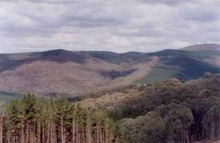
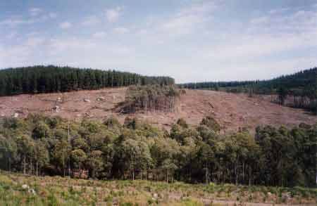
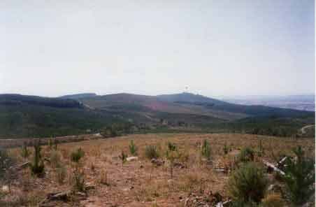
LEGL 93-62: Photo looking South into the headwaters of a major tributary of White Gum Gully in the Parkes Creek (Broken River) catchment. This area was granted very generous buffers when the plantation was established in the early 1970's.
LEGL 93-62: Another photo looking south into the headwaters of the White Gum Gully. This photo also reveals generous buffers on the headwaters of this creek system (in the far distance). The northern tributaries of the catchment were not treated as well and many suffer from minimal waterway protection.